value-oriented and lasting
GeoIT Solutions
Your Solution
GeoIT solutions are relevant - be it for the protection of our environment, hazard prevention, information dissemination, decision making or the optimization of process sequences. They help to master the complex challenges of our time by recognizing patterns, linking information, and uncovering relationships.
Our strength is the ability to plan, develop, operate and further develop customized, economical and cleanly integrated GeoIT solutions. In doing so, it is important to us that we always meet your requirements. Our approach to projects is a holistic full-service approach that creates individual and lasting GeoIT solutions.
Your Advantages
User Focused
We put the user at the centre. Solutions are only successful if they have good usability and in the process guarantee a positive user experience (UX) for the user.
Integrable
Our solutions always integrate into your existing infrastructure. This makes them perfectly suitable - even for complex IT landscapes.
A Perfect Fit
Our solutions are precisely tailored to your requirements and are aligned with your technical and IT context. Be it the correct presentation of information and relationships, comprehensible and efficient interaction or seamless integration into existing business processes. We are happy to work closely with you to achieve these goals.
Adaptable
In a rapidly changing environment, it is crucial that solutions can be adapted just as quickly and easily. This is exactly what we enable through the use of our technologies and expert knowledge.
Simple and Aesthetically Pleasing
Our GeoIT solutions present complex issues in a simple and aesthetically pleasing way. We know that good design contributes significantly to the success of our solutions.
Open and Transparent
Our open platform technology and use of open interfaces allows us to work with you or your partners on the solution and combine different technologies into a seamless, overall solution.
Easy-to-maintain
A high level of standardization and automation allows us to get solutions up and running quickly and reliably. This allows us to react well to changes and keep the costs of our solutions low in terms of complexity and maintenance.
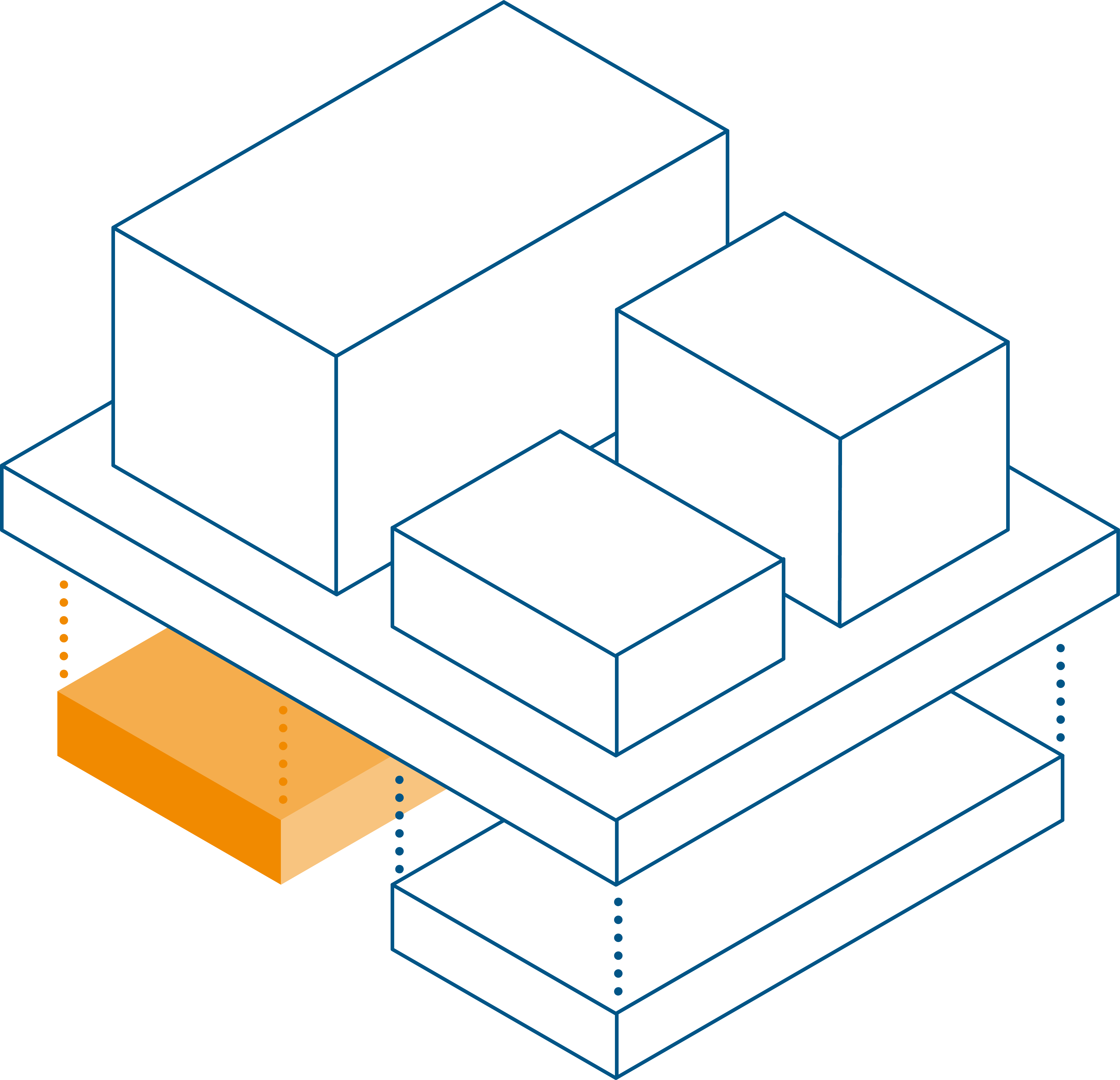
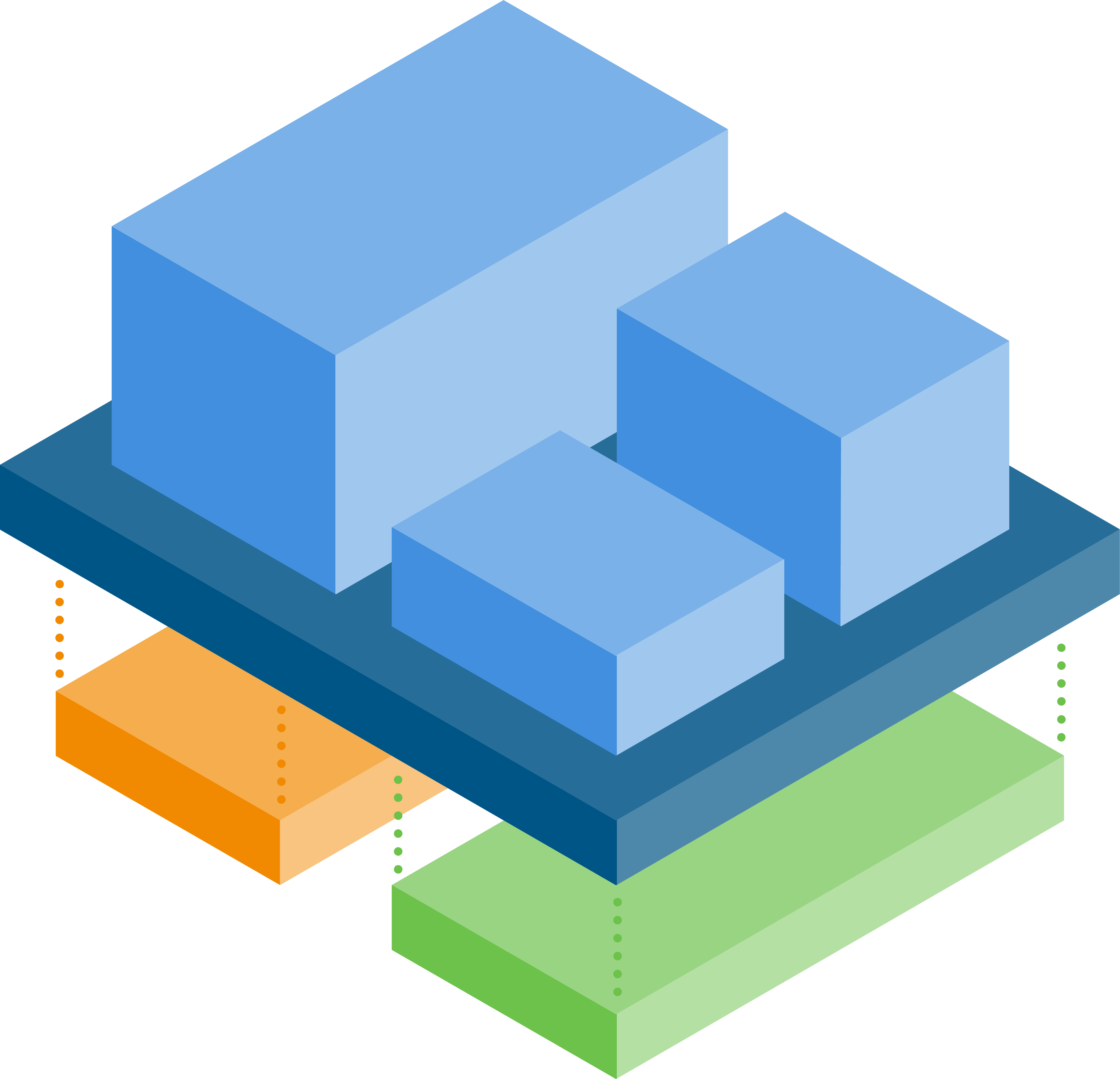
We work according to the con terra approach: Design. Build. Run. Evolve. This ensures that we have a comprehensive view of all aspects of a GeoIT solution and can address them precisely. In this way, we create value-oriented, lasting and adaptive GeoIT solutions for our customers.


Our Technology
Even though we always implement your GeoIT solution in a highly customised way, our approach and the technology which we use are not. Over the years, we have established a successful technology stack that makes your projects so successful.
Our software portfolio for creating GeoIT solutions
The strength of our con terra technologies lies in their ability to implement complex and individual requirements in a simple and elegant way. The individual software products integrate perfectly into existing infrastructures and cover all standard requirements for modern GeoIT environments. Customers and users benefit from the openness of the interfaces. The resulting solutions offer a consistently positive user experience by being oriented towards the requirements of your users and their business processes - and not the other way round. Used individually, the components of con terra technologies close gaps in existing GeoIT environments. Bundled together, they offer a comprehensive and cross-sector portfolio for the creation of modern, open and user-centric GeoIT solutions.
Learn more about con terra Technologies.
A powerful base technology for Geo
The comprehensive ArcGIS technology stack offers a wide range of options for processing, analysing or displaying geoinformation and related data. Functionally, there are hardly any limits set here. It is not for nothing that Esri is the world market leader in this field. The core technologies of ArcGIS have always played a central role in our ideas and approaches to the design, build and operation of solutions. Over the course of more than 25 years, we have built up and continuously developed the knowledge and skills needed to integrate ArcGIS products into our GeoIT solutions in a custom-fit and future-oriented manner. Our platinum partnership with Esri documents this impressively.
Learn more about ArcGIS.
Maximise the value of your data
The FME platform is a fully comprehensive data integration solution and supports hundreds of formats and applications with a special focus on the spatial domain. Prepare your data flexibly and make the most of it. The FME offers an intuitive user interface so that even complex workflows can be set up easily and without programming knowledge. The server technology allows integration processes to be fully automated. Regardless of whether event-driven or via fixed schedules, in the cloud or On-Premise. con terra is a long-standing partner of the manufacturer Safe Software and, as the "European Service Centre for FME", organizes, for example, the European user FMEdays conference.
Learn more about FME.